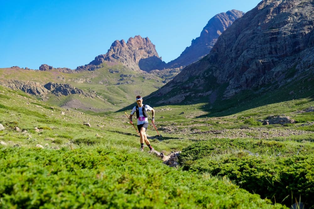
Restonica Trail - Ultra-Trail® di Corsica 2027
Arrival window and first checkpoints free
The forecast arrives five days before the start.
Here you'll find the elevation profile, an estimated finish time based on your UTMB Index and details of the 11 aid stations to plan your nutrition and hydration segment by segment.
What's your time based on your UTMB?
Cut-off times and crew - Restonica Trail - Ultra-Trail® di Corsica · 2027
Data from the official race rules, checked for every edition. The race rules prevail. Positions are interpolated along the GPX track and are a guide, not official course marking.
What you'll find at each aid station
| Product | Alerikm 13.0 | Bocca Capizzolukm 25.9 | Calacucciakm 32.8 | Ballonekm 47.8 | Ciattarinukm 59.9 | Inzecchekm 75.2 | Bocca a Sogliakm 84.4 | E Grotelle - chez Téokm 88.4 | Tragone - chez Césarkm 93.7 | Alzukm 98.6 | Cortekm 110.6 |
|---|---|---|---|---|---|---|---|---|---|---|---|
| Water | available | available | available | available | available | available | available | available | available | available | available |
| Brand products · Näak | available | unavailable | unavailable | unavailable | unavailable | unavailable | unavailable | unavailable | unavailable | unavailable | unavailable |
| Hot meal | unavailable | unavailable | available | available | available | available | unavailable | available | unavailable | available | available |
Elevation profile
The course and its aid stations
Restonica Trail - Ultra-Trail® di Corsica: times, aid-station stops and fuelling needs by UTMB® Index
Between a UTMB® Index of 500 and 800, the estimated finish time on this race runs from 35h52 to 17h17. These times include aid-station stops: they come from real durations between two timing points, and this race's timing does not measure stops separately.
Source
| UTMB® Index | Estimated time | Night hours | Carbs | Fluid | Sodium | Cut-off margin |
|---|---|---|---|---|---|---|
| 500 | 32h04 to 35h52 | 18 | 2,038 g | 23.8 L | 16,983 mg | +14h02 |
| 550 | 28h13 to 31h33 | 15.9 | 1,793 g | 20.9 L | 14,942 mg | +18h07 |
| 600 | 25h17 to 28h17 | 12.8 | 1,607 g | 18.7 L | 13,392 mg | +21h13 |
| 650 | 22h13 to 24h51 | 9.5 | 1,412 g | 16.5 L | 11,767 mg | +24h28 |
| 700 | 20h19 to 22h43 | 8 | 1,291 g | 15.1 L | 10,758 mg | +26h29 |
| 750 | 19h17 to 21h35 | 8 | 1,226 g | 14.3 L | 10,217 mg | +27h34 |
| 800 | 17h17 to 19h19 | 8 | 1,098 g | 12.8 L | 9,150 mg | +29h42 |
Figures based on 60 g of carbohydrate, 700 mL of fluid and 500 mg of sodium per hour, "average" preparation and mild conditions (15–25 °C). Above 25 °C, count on roughly 900 mL/h and 700 mg/h. Carbohydrate intake is trained: 60 g/h is a floor, 90 g/h assumes a glucose-fructose blend and a gut used to it.
Measured on the 2026 edition: the field checkpoint by checkpoint
685 starters, 30.2% DNF rate, 13 timed checkpoints.
| Segment | km | Median | Middle half | Measured | Median passage | Still ranked |
|---|---|---|---|---|---|---|
| Corte → E Padule | 7 | 2 h 06 | 1 h 51 – 2 h 26 | 683 | 2 h 05 | 683 |
| E Padule → Aleri | 12.7 | 55 min | 48 min – 1 h 04 | 681 | 3 h 00 | 683 |
| Aleri → Pinadellu | 20.8 | 1 h 41 | 1 h 28 – 1 h 55 | 674 | 4 h 37 | 679 |
| Pinadellu → Bocca Capizzolu | 25.5 | — | — – — | 0 | — | 664 |
| Bocca Capizzolu → Calacuccia | 32.3 | — | — – — | 0 | 6 h 45 | 664 |
| Calacuccia → Bocca Crucette | 43.5 | 4 h 01 | 3 h 20 – 4 h 48 | 465 | 10 h 38 | 623 |
| Bocca Crucette → Ballone | 47 | 1 h 24 | 1 h 06 – 1 h 44 | 599 | 11 h 59 | 621 |
| Ballone → Ciottulu di i mori | 52.4 | 2 h 15 | 1 h 56 – 2 h 42 | 554 | 14 h 11 | 604 |
| Ciottulu di i mori → Ciattarinu | 59 | 1 h 39 | 1 h 19 – 1 h 59 | 559 | 15 h 44 | 601 |
| Ciattarinu → Bocca a Soglia | 83.2 | 7 h 29 | 6 h 17 – 9 h 07 | 468 | 23 h 20 | 489 |
| Bocca a Soglia → E Grotelle | 87.3 | 1 h 25 | 1 h 06 – 1 h 43 | 460 | 24 h 47 | 489 |
| E Grotelle → Alzu | 97.4 | 3 h 29 | 2 h 39 – 4 h 01 | 455 | 28 h 38 | 478 |
| Alzu → Corte | 109.9 | 3 h 06 | 2 h 34 – 3 h 36 | 468 | 31 h 45 | 478 |
“Median passage” is elapsed time from the start, not a clock time: the clock time depends on the edition.
Where runners drop out. Ciattarinu (112) · Calacuccia (41) · Ballone (17) out of 207 total DNFs.
RAVIT record from the official timing of the 2026 edition, data from September 22, 2026.
Source
Other trails worth preparing for
- Firminy - Raid Le Puy-Firminy69 km · 1,560 m D+ · November 22, 2026
- SaintéLyon81 km · 2,471 m D+ · November 28, 2026
- Lyon SaintéLyon160 km · 5,278 m D+ · November 28, 2026
- Ultra Mafate Trail Tour70 km · 4,800 m D+ · November 28, 2026
- Moncontour - Ultra Menestrail98 km · 3,386 m D+ · December 5, 2026
- Ultra Trail des Vallees - La Maxi Trail des Vallées78 km · 1,778 m D+ · December 8, 2026
- Armentière en Brie - Solo70 km · 783 m D+ · December 12, 2026
- Les Herbiers - La HOT du Père Noël135 km · 3,109 m D+ · December 19, 2026
- Les Courses du Père Noël - Relais HOT - 1er Relais 68 km69 km · 1,356 m D+ · December 19, 2026
Restonica Trail - Ultra-Trail® di Corsica over the years
Sources and method
- Time projection — times by UTMB Index are taken from the actual splits of runners in each level band on previous editions of this race, aid station stops included. No formula is used as long as these results exist.
- Trail nutrition — hourly targets for carbohydrate, fluid and sodium follow the commonly accepted ultra-endurance guidance. La Clinique du Coureur — Fuelling in trail running
- Course, aid stations and cut-offs — taken from the event's official rules, which prevail in case of any discrepancy. Official site — Restonica Trail - Ultra-Trail® di Corsica
Weather for Restonica Trail - Ultra-Trail® di Corsica
The weather for Restonica Trail - Ultra-Trail® di Corsica will appear here as soon as the forecast models reach that date, around five days before the start: feels-like temperature, rain, snow, wind and storms, section by section and at your passage time.
Detailed weather for Restonica Trail - Ultra-Trail® di Corsica, hour by hour on the courseFrequently asked questions
How many checkpoints?
Restonica Trail - Ultra-Trail® di Corsica has 12 checkpoints: 8 aid stations, 3 water points, and 1 checkpoint with undocumented contents. Details are in the two tables above.
What's the longest segment without aid?
The one leading to Inzecche: 15.2 km and 595 m elevation gain. That's the one to load up for first.
How do I find the exact location of an aid station?
The Google Maps icon in the “Access” column opens the aid station's location: handy for planning your crew's routes.
What distance and elevation gain?
Restonica Trail - Ultra-Trail® di Corsica is 111 km long with 7040 m of elevation gain.
How long to finish?
With a UTMB index of 600 (average runner), one runner in two finishes Restonica Trail - Ultra-Trail® di Corsica between 25h17 and 28h17.
What's the weather forecast?
The weather for Restonica Trail - Ultra-Trail® di Corsica will be published on this page around five days before the start, once the forecast models reach the race date. It will be detailed section by section: feels-like temperature, rain, snow, wind and storms.